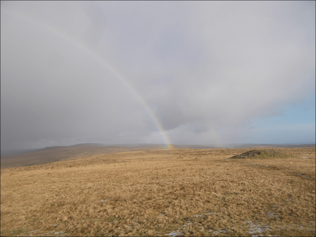
You can see the evidence in the landscape of Harford Moor of people having lived and worked here for at least 5000 years. There are few places in Britain where there’s so much easy-to-see archaeology. The upper Erme valley and the hills on each side are particularly rich in archaeology, and parts of them are classed as Premier Archaeological Landscapes.
Early human activities on Harford Moor
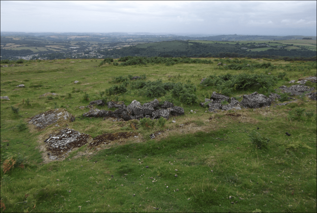
The first signs of human activities on Harford Moor are from between 5000 and 7000 years ago. During this time the climate was wet and warm, and the area was covered in woodland. Pollen records show that people began clearing parts of the woodland at this time. By the end of the period, about 5000 years ago, people were farming there, and by the Bronze Age (which started around 3800 years ago) the moorland population was quite large and there were small settlements all the way up the Erme Valley. You can still see the outlines of hut circles and field systems, which people built in places that had good soil and were sheltered from the weather. The huts would have had a low wall of stone and earth, and then a conical thatched roof supported by a single upright pole. The biggest settlement was Erme Pound, about five miles north of Harford Church.
Around 2500 years ago, during the Iron Age, the climate became cooler again, and the number of people living on Harford Moor decreased again. Most of the archaeological remains from the Iron Age are around the edge of the moor.
The early people built large stone barrows on the hill tops, apparently as burial mounds. You can find them on both sides of the Erme on all the prominent hilltops, right up into the moor. People also put up stone rows, mainly on the hills. These include the double stone row on Piles Hill (mostly now fallen over) and the row with the dramatic Cornish Maiden stones on the skyline of Stalldown Barrow. The longest of all the Dartmoor stone rows, extending from the circle called the Dancers on Stall Moor, can be traced across the Erme and on to Green Hill, near the centre of the southern moor. Now we can only guess what the purpose of these rows was, but they are dramatic at any time of year.
There are also small burial chambers known as cists or kistvaens on a number of hillsides. These seem to be from the Bronze Age. People placed a body or cremated remains in a small stone chamber along with tools, foods and weapons, then covered with a big slab of rock and a mound of earth. Often they are near hut circles of similar age.
From farming to tin: 0-1700 CE
The Roman occupation of Britain had little impact on Dartmoor. There are a number of remains from the Saxon era (about 410-1066 CE), and certainly there was a church at Harford by then (the Saxon font stands in the corner). Ancient crosses from around this period mark some of the routes across the moor. The ancient farms of Lower and Higher Piles may have been developed in Saxon times on older Bronze Age enclosures. They were probably built around 800 to 1,000 years ago, in another warmer period. By then tin streaming (a way of separating gravel to collect deposits of tin) was becoming a big industry.
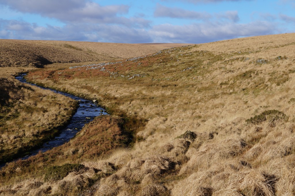
Around 1300 CE, the colder weather and the Black Death caused the population to shrink away from the moor, but tin exploitation boomed again in the 1400s and 1500s. Tin streaming had a fundamental impact on Dartmoor’s valleys, and the Erme was completely altered. Along all of the main valley and in the side valleys, you can still see mounds of stone and gravel where the tinners dug for alluvial tin. You can also see the lines of leats and the remains of the blowing houses where the tin was smelted in numerous places up the valley.
Stone and china clay: 1700s-present
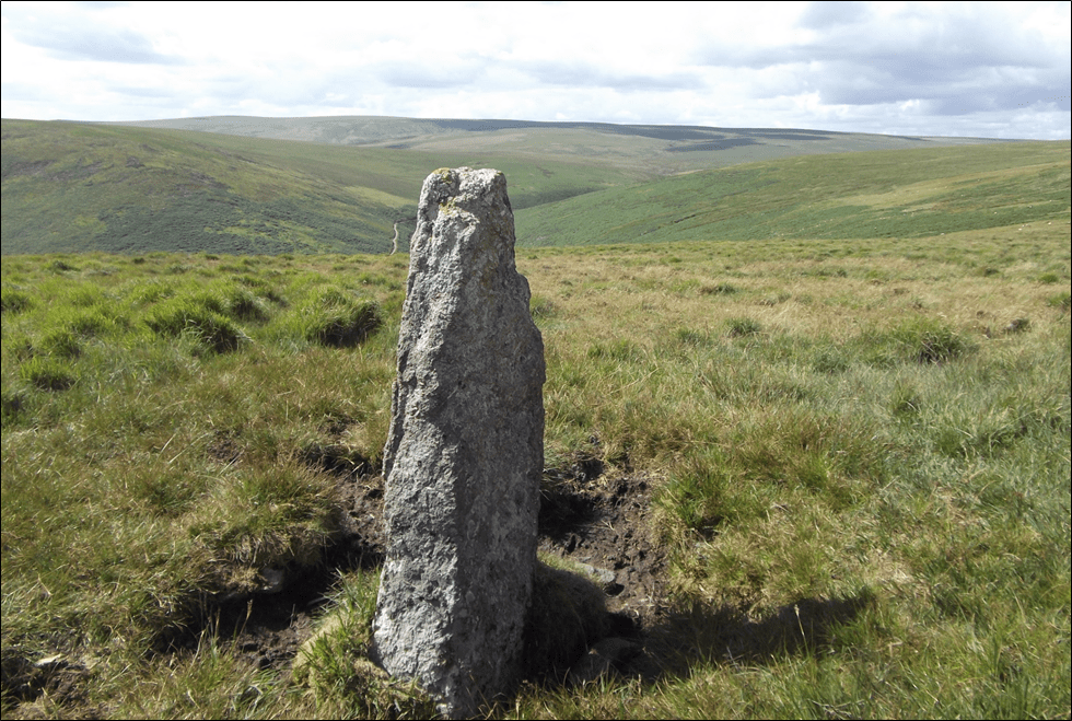
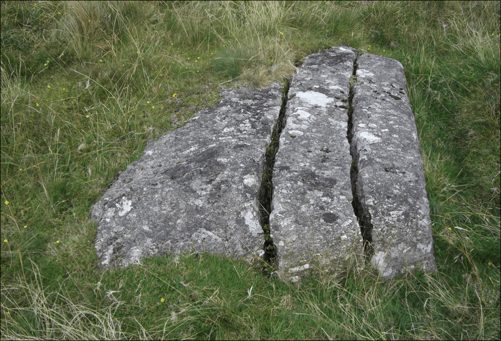
In the 1700s, people plundered some of the stone rows to make new markers for parish boundaries. Quarries were developed on the Western Beacon and at Torr Rocks near the Butterbrook. Elsewhere, people split large stones and carved them to make gateposts or troughs.
In the early 20th century, the demand for industrial materials reached Harford Moor. A railway was built to give access to the Redlake and Leftlake china clay works, and a pipeline installed to bring slurried clay back to the drying kilns by the main railway line at Cantrell. Water was in demand too – the Ivybridge Corporation built the Butterbrook reservoir in the 1920s, and the Plympton Corporation built the Erme intake above Piles in the 1950s.
Harford Moor has also been used for military activities. In the 1860s, a shooting range was set up to train troops above the Butterbrooke. During the Second World War, the Royal Observer Corps had a lookout on the Western Beacon, and its foundations remain. Pits were dug to stop enemy aircraft landing, and you can still see a few that were never filled in again. In the lead-up to D-Day, American troops practised by blowing up some large rocks and the old buildings at Redlake, and shelling some of the older remains.
Over the last 60 years there have been few physical changes. In this part of its history, Harford Moor is being used almost exclusively for agriculture, water supply and recreation. More management decisions are being made with conservation, ecology and climate change in mind – changing the landscape again. For example, near Leftlake, old drains from china clay extraction are being altered to help restore the peat. Not far to the west, huge changes continue with the big open cast clay mines on Shaugh Moor and Lee Moor, and now Crownhill Down is also being permanently altered by wolframite mining for tungsten. What do the next 5000 years hold for Harford Moor?
